The Government's Planning for the Future White Paper was published for consultation in August 2020 and the Landscape Institute was among the professional bodies that provided a consultation response. Whilst there will be a variety of opinion on the White Paper proposals, Gillespies believe that Landscape Architects are well placed to support Local Authorities not just in meeting some of the key requirements of the proposed planning reforms, if they become a reality, but helping to ensure that a reformed planning system ‘must make land available in the right places and for the right form of development…. while at the same time protecting our unmatchable architectural heritage and natural environment’[1]. As the Landscape Institute has iterated in their consultation response to the White Paper, planning should respond to the existing environment and work with natural assets.
Landscape Architects have the skills and knowledge to support Local Authorities in guiding development to the most appropriate locations, through objective assessment of landscape and visual sensitivity. This type of work is an essential part of baseline information for Local Authorities and should be undertaken in conjunction with the consideration of detailed environmental matters such as ecology, heritage, and flooding. While the White Paper proposal of simplifying Local Plans and identifying land in three categories; Growth, Renewal, and Protected is more complex than the three categories indicate, a baseline landscape and visual sensitivity study will assist Local Authorities to respond sustainably and appropriately to categorising land for development.
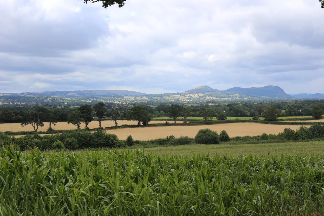
Gillespies specialise in landscape and visual sensitivity studies and have recently completed studies for North West Leicestershire and Telford and Wrekin following on from undertaking the award-winning Shropshire study. These studies considered the landscape around existing settlements to inform the selection of new housing and employment sites for allocation in Local Plans, and provided a robust evidence base to protect landscape character and visual amenity. Clear and precise mapping and data production is undertaken in GIS for these studies and supports the White Paper proposal that ‘Local Plans should be visual and map-based, standardised, based on the latest digital technology’[2].